Winter in the Great Lakes region is about to get a lot more complicated. According to the latest outlook from the National Oceanic and Atmospheric Administration, residents in Michigan and the broader Midwest should brace for a season that’s warmer but significantly drier than usual. This isn't just a mild forecast; it's a signal that a developing El Niño event could reshape our winter experience entirely.
The shift comes as the NOAA Climate Prediction Center warns of an 80 percent chance that El Niño conditions will persist through the Northern Hemisphere spring. Even more striking? There’s a 75 to 85 percent probability this event will intensify into a "strong" classification. For those who remember the harsh freezes of recent years, this sounds like good news. But there’s a catch: less snow means less water storage for the summer ahead.
The Mechanics Behind the Shift
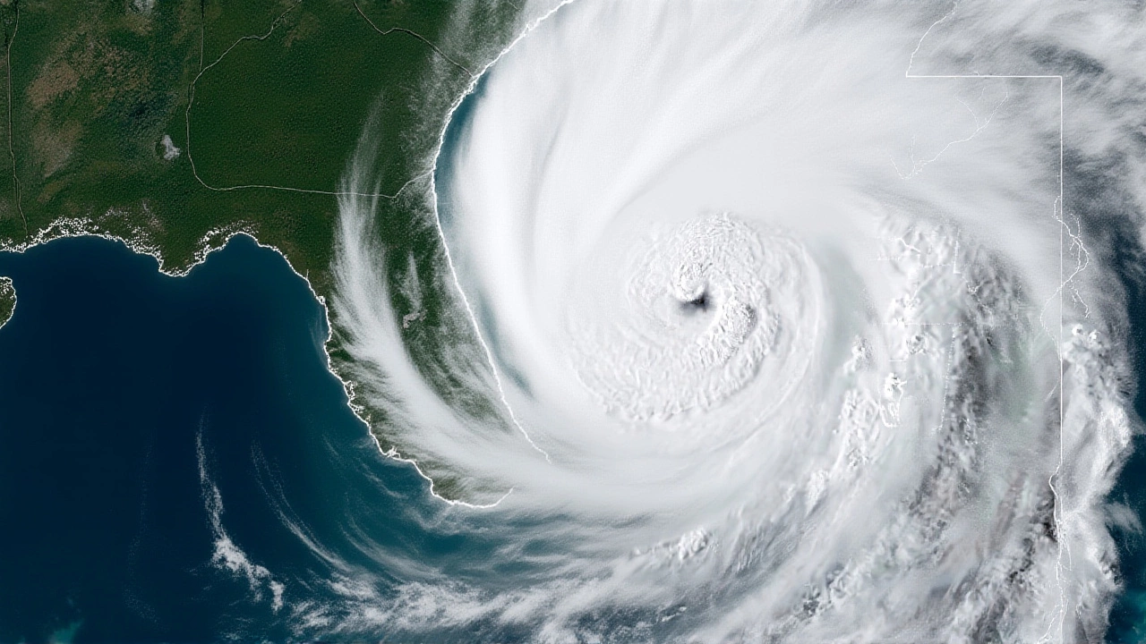
To understand why your driveway might stay clear while your lawn turns brown, you have to look thousands of miles away. Zach Johnson, climate scientist at Central Michigan University, explains that El Niño is part of a larger cycle called the El Niño Southern Oscillation. It all starts with the trade winds in the tropical Pacific weakening. When they do, warm surface water that usually pools in the west migrates eastward.
This movement creates positive sea surface temperature anomalies—essentially, water that’s hotter than average. That heat doesn’t stay put. It triggers changes in atmospheric circulation that ripple across the globe, eventually nudging the jet stream. In the case of El Niño, that jet stream tends to migrate northward. For Michigan and the Midwest, this means storm systems track farther up toward Canada, leaving us with milder air masses and fewer precipitation events.
Here’s the thing: it’s not magic. It’s physics. The jet stream acts like a river of wind separating Arctic cold from tropical warmth. When it shifts north, that barrier moves with it, allowing warmer air to settle over the Great Lakes basin during the peak winter months of December and January.
What “Super El Niño” Really Means
You’ve probably seen headlines screaming about a "super El Niño." But what does that actually mean for your commute? A recent analysis defines a super El Niño by a specific threshold: sea surface temperatures in the eastern Pacific must be at least 2 degrees Celsius above the long-term average. Recent model runs suggest we’re on track to hit that mark by fall.
If those models hold true, the impacts won’t be subtle. While a standard El Niño brings mild deviations, a strong or super event amplifies them. We’re talking about a higher confidence level in above-normal temperatures and a sharper drop in precipitation. It’s the difference between a slightly lighter snowfall and a near-total lack of winter accumulation in central Michigan.
Regional Variations and Dry Risks
Not every corner of the region will feel the same effects. The Drought.gov outlook highlights a critical distinction. While the entire Great Lakes basin faces an increased chance of above-normal temperatures, the precipitation risks are unevenly distributed. Central portions of the basin, particularly in Michigan, face the greatest chance of below-normal precipitation. Southern parts of the basin also see heightened dryness risks.
However, if you live east of Lake Erie, the forecast is essentially a coin toss. Probabilities for above-, below-, and near-normal precipitation remain equal there. This geographic nuance matters for agriculture and water management. Farmers in central Michigan need to plan for drought stress, while those further east can rely on historical averages with more confidence.
It’s also worth noting what El Niño *doesn’t* affect. Despite the chaos in the Pacific, this phenomenon has no known consistent impact on the timing of the first fall freeze, the last spring freeze, or the potential for ice storms. So, don’t cancel your antifreeze plans just yet.
Why This Matters Beyond the Thermometer
A warmer winter sounds pleasant until you consider the ecosystem. Snowpack acts as a natural reservoir, melting slowly in spring to replenish rivers and lakes. Less snow means less runoff when crops need it most. Zach Johnson points out that climate change may already be influencing the frequency and intensity of these events, creating a feedback loop that complicates long-term planning.
For industries reliant on stable weather patterns—from shipping on the Great Lakes to tourism in ski resorts—the uncertainty is costly. Predicting El Niño remains challenging, and ongoing research aims to improve accuracy. But right now, the data suggests we’re heading into a period where traditional winter preparations might need a rethink.
Looking Ahead
As we move through the coming months, meteorologists will be watching the tropical Pacific like hawks. If sea surface temperatures continue to climb past that 2-degree Celsius anomaly mark, the "super" label will stick, and so will the intensified impacts. The key takeaway? Prepare for a milder winter, but keep a close eye on soil moisture levels. The sun might shine brighter, but the ground could be thirstier than ever.
Frequently Asked Questions
Will El Niño cause less snow in Michigan?
Yes, El Niño typically leads to warmer winters and less precipitation in Michigan. The jet stream shifts northward, diverting storm systems away from the state. This results in fewer snowfall events and generally milder temperatures compared to historical averages.
What is a "super El Niño"?
A super El Niño is defined by sea surface temperatures in the eastern Pacific being at least 2 degrees Celsius above the long-term average. This intensity level amplifies the typical weather patterns associated with El Niño, leading to more pronounced warming and drying effects in regions like the Great Lakes.
Does El Niño affect the timing of freezes?
No, according to official outlooks, El Niño is not known to systematically impact the timing of the first fall freeze or the last spring freeze. It also does not have a consistent effect on the potential for ice storms, despite its influence on overall winter temperatures and precipitation.
How long is El Niño expected to last?
The NOAA Climate Prediction Center estimates an 80 percent chance that El Niño conditions will persist through the Northern Hemisphere spring. There is also a high probability (75-85%) that the current event will strengthen into a "strong" classification before it dissipates.
Which areas are most at risk for dry conditions?
The central portion of the Great Lakes basin, particularly in Michigan, faces the greatest chance of below-normal precipitation. Southern parts of the basin also see increased risks of dry conditions. Areas east of Lake Erie, however, have equal chances of above-, below-, or near-normal rainfall.